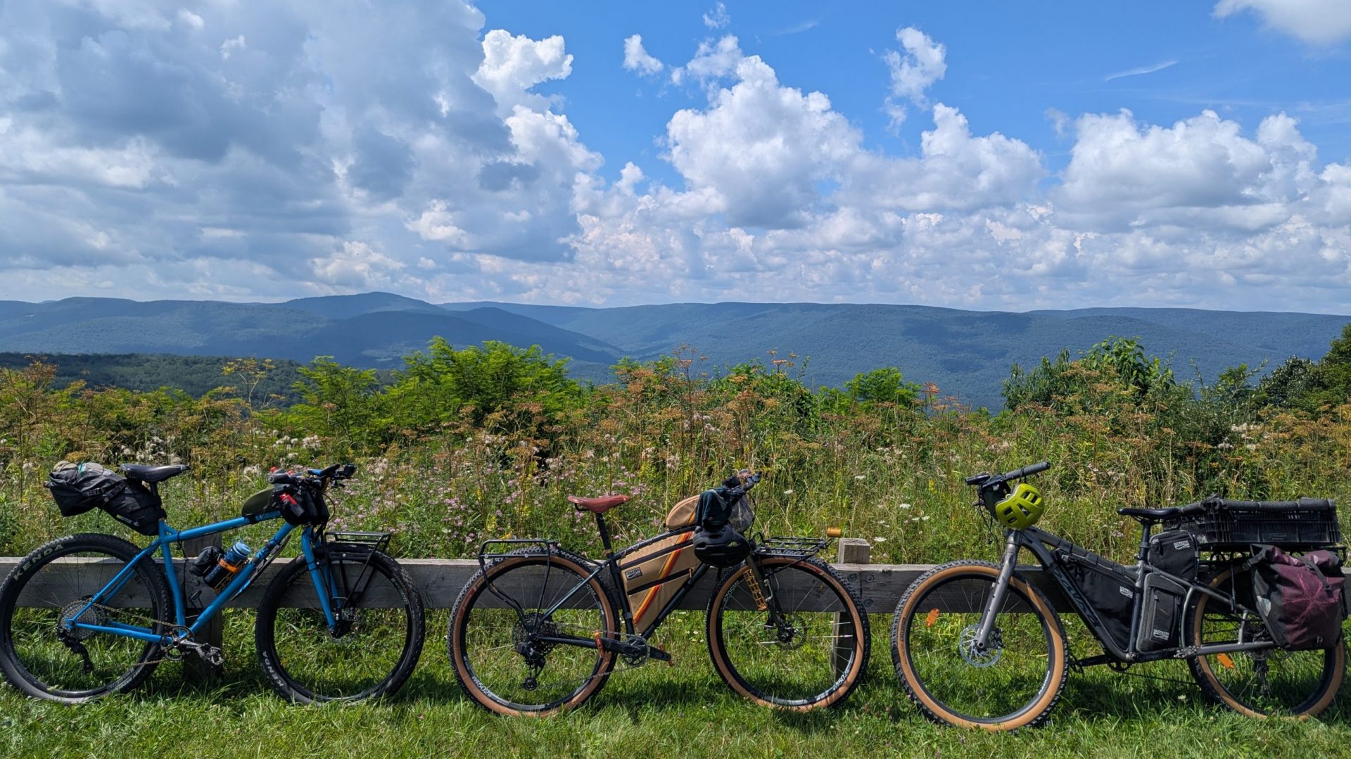
About the trail
We offer 3 routes for the OTET: North (Cleveland-Columbus), South (Cincinnati-Columbus), and the full route. We also offer shuttle-only services, just for the OTET.
# Day Trip From where to where (xx miles)
Description
Itinerary
Day 1: xx mile ride from where to where
| Description |
Day 2: xx mile ride from where to where
| Description |
Day 3: xx mile ride from where to where
| Description |
The costs will scale depending on group size, from 2 up to a maximum of 6 riders. Please contact us for price information.
If these distances are too short and you wish to complete the ride in only xx days, reach out and we will create bespoke adventures for your level of fitness and adventure.
3-Day Trip Cincinnati to Columbus (115 miles)
3-Day Trip from Cincinnati to Columbus (Galloway). Start at Smale Riverfront Park, end in Galloway. 115 miles total distance. This is a great ride for beginners. The distance each day is quite modest and there are no major hills to climb. Each step of the way you will
be able to reach the tour organizer should anything go wrong with weather or mechanical issues.
Itinerary
Day 1: 40 mile ride from Cincinnati to Morrow.
| We will meet in Galloway, OH at the Camp Chase Trailhead, at the intersection of Galloway Road and Martin St. Meet at 8am to load the shuttle and drive to Cincinnati, approximately 2 hour drive. You will be dropped off at Smale Park to begin the 40 mile ride to Marrow, OH. The ride takes you along the Ohio river east until the confluence with the Little Miami River. At this point the trail turns north and follows the Little Miami River through Miamiville and Loveland, before arriving at Marrow. At Marrow, we will be camping about a half-mile from the bike trail. Snacks and refreshments will be waiting for you once you arrive. Dinner will be provided that evening. |
Day 2: 30 mile ride from Morrow to Xenia.
| Breakfast at camp before setting off. The ride for today is only 30 miles, so we can have a relaxing start to the day. The route for the day takes you through the Ceasar Creek Gorge State Nature Preserve, and through the quaint little town of Corwin, where the Sun Sprouts Café is a nice spot for lunch. Continue through Spring Valley and into Xenia. Camping is at the Cesear Ford Campground. We will meet you at Xenia Station in Xenia and transport the group to the campsite (7 miles) where snacks and refreshments will be waiting for you. |
Day 3: 45 mile ride from Xenia to Galloway
| Today will take us from Xenia back to our cars in Galloway. The day will start out with breakfast and coffee at camp. With only 45miles to ride today, we can take our time with coffee and breakfast and make sure our bikes are in good condition for the day’s ride. The tour organizer will transport riders from the campsite to Xenia Station, where riders will continue along the trail. The route on day 3 will take us through South Charleston and London before making it to our final destination. |
4-Day Trip from Cleveland to Columbus (Westerville).
Start at Edgewater Park, end in Westerville. 182 miles total distance. Great ride for more conditioned riders who can easily complete 60 miles in one day. The distance each day is quite modest and there are no major hills to climb. Each step of the way you will be able to reach the tour
organizer should anything go wrong with weather or mechanical issues.
Itinerary
Day 1: 57 mile ride from Cleveland to Clinton
| We will meet at the Alum Creek Park South parking lot (535 Park Meadow Rd) in Westerville at 7am. We will shuttle from Westerville to Edgewater Park in Cleveland, approximately 2 hour drive. Riders will depart from Edgewater Park. The bike path starts from the park and heads east with Lake Erie to the north. After approximately 2 miles, the path will venture south into Cleveland. At mile 6 riders can look for Clark Park, where a very short detour from the bike path will take you to the Christmas Story House. Riders will continue south through beautiful Cuyahoga National Park, and will go by the original Winking Lizard in Peninsula at approximately mile 27. Riders will continue south through Akron and eventually end the day in Clinton. The campsite is 2534 W Comet Rd, only 1 mile from the path (Hillside Park of Clinton). |
Day 2: 52 mile ride from Clinton to Millersburg
| Riders will depart in the morning after breakfast. The route today will take you through historic downtown Massillon riding the path along the Tuscarawas River. In downtown Massillon, at mile 13 of the day’s ride, the trail will head west following the Sippo Valley trail to Dalton. At Dalton, around mile 23 of the day’s ride, we pick up the only section of the adventure that continues along country roads, so please be mindful of traffic and make sure you have the routes loaded on your navigation devices. The road section, approximately 17 miles in length, will continue from Dalton to Fredericksburg, where you can refuel at Lem’s Pizza. In Fredericksburg you pick up the bike path again. Take the path into downtown Millersburg. Just south of Millersburg, look for the crossing of County Road 102. Take a left onto County Road 102, heading due east for approximately 1 mile, then look for Turkey Hollow campground on your right (to the south of route 102). |
Day 3: 47 mile ride from Millersburg to Mt. Liberty
| The morning of day 3 riders will depart the campground at Turkey Hollow and rejoin the bike path heading south. Today’s ride is a bit shorter than the previous two days. The riders will first go through the small charming town of Killbuck, where there are snacks available. The route exiting Killbuck will be on the road for approximately 3 miles, picking up the Holmes County trail again just after township road 63. From there the path takes you through the towns of Glenmont, Brinkhaven, and Danville, where there are gas stations if restrooms or resupplies are required. At Danville, the path merges with a city road for about a mile, before connecting to the Kokosing Gap trail at the city park on the west end of town. This is approximately the half-way point for the day’s ride, with about 25 miles remaining to the Berry Barn near Mt. Liberty, our camping site for the night. |
Day 4: 26 mile ride from Mt. Liberty to Westerville
| The final day of the trip we leave the Berry Barn after breakfast and a leisurely start, with only 26 miles to complete for the remainder of the adventure. The ride today will take us across the highest point of the trail, just before Centerburg. After passing Centerburg, riders will notice more civilization, especially as we approach Sunbury and Galena and head into the Columbus suburb of Westerville. Riders will have the opportunity to stop in downtown Westerville, where there are numerous cafes and restaurants before returning to the cars at the Alum Creek South park. |
The costs will scale depending on group size, from 2 up to a maximum of 6 riders. Please contact us for price information.
If these distances are too short and you wish to complete the ride in only three days, reach out and we will create bespoke adventures for your level of fitness and adventure.